Aquired Maps:
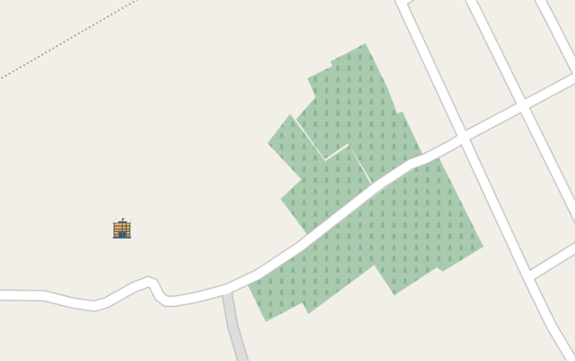
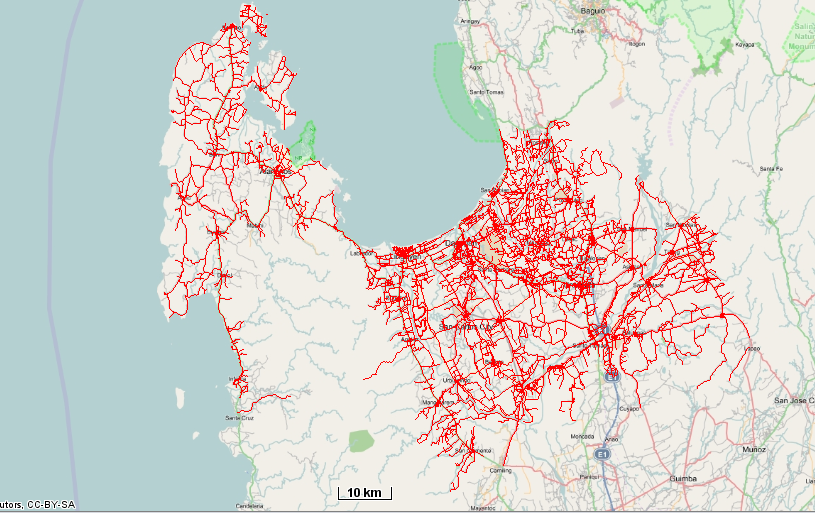
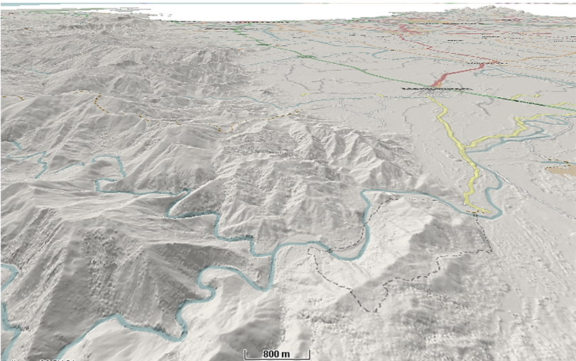
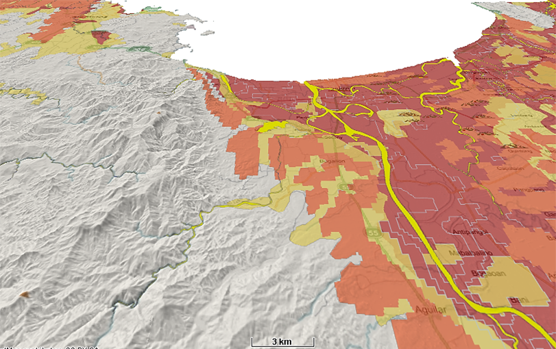
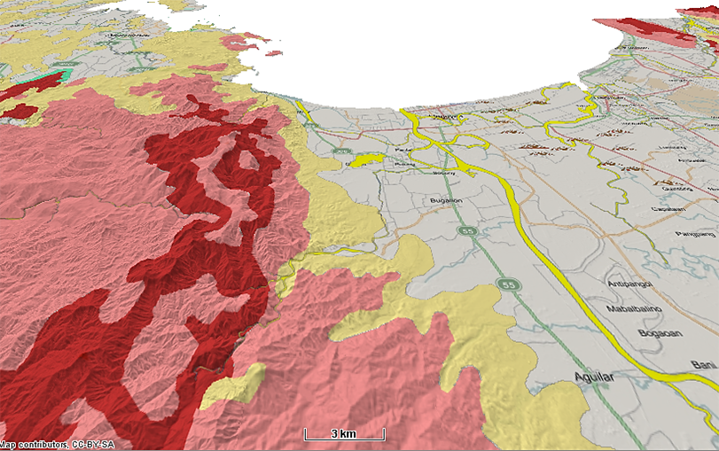
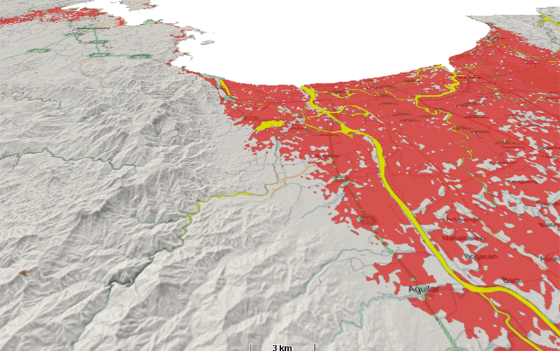
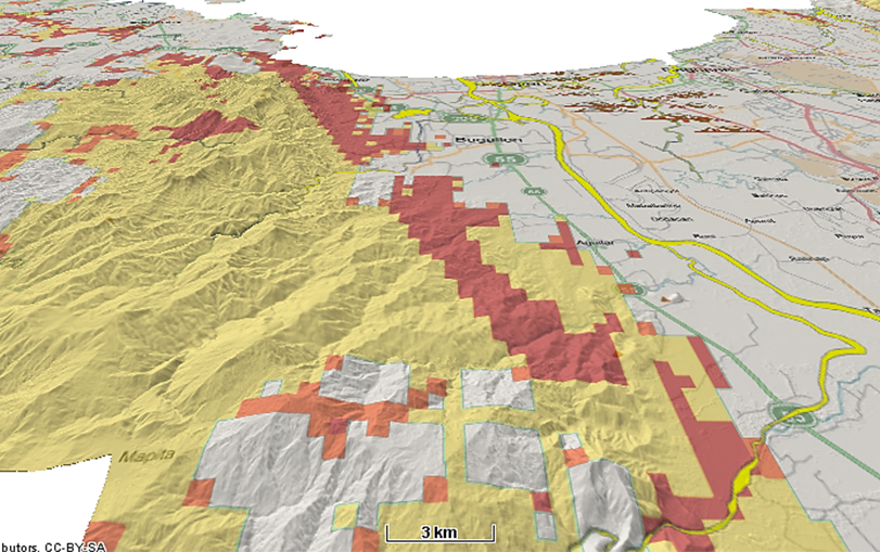
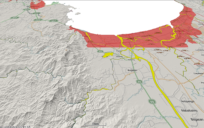
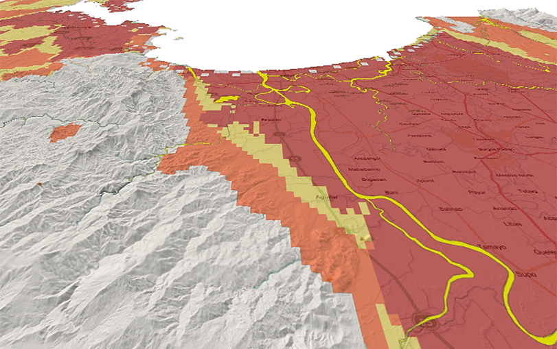
Project was sponsored by the Japan International Corporation Agency (JICA)
Project was launched on March 2016, and implementation started on May 2016 and was completed on October 2017.
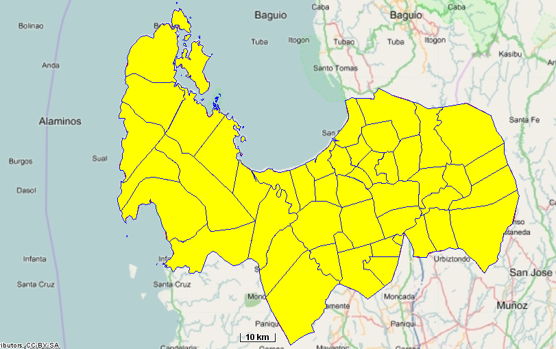
Development of the English Version of the Geo Cloud Software and installed in the Server for the Province, the City of Dagupan, and the Municipalities of Binmaley and Lingayen


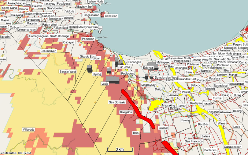
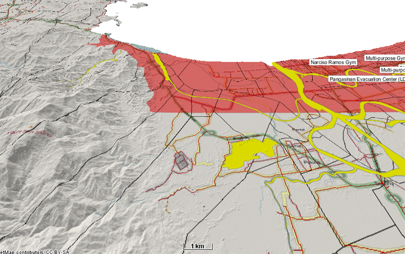
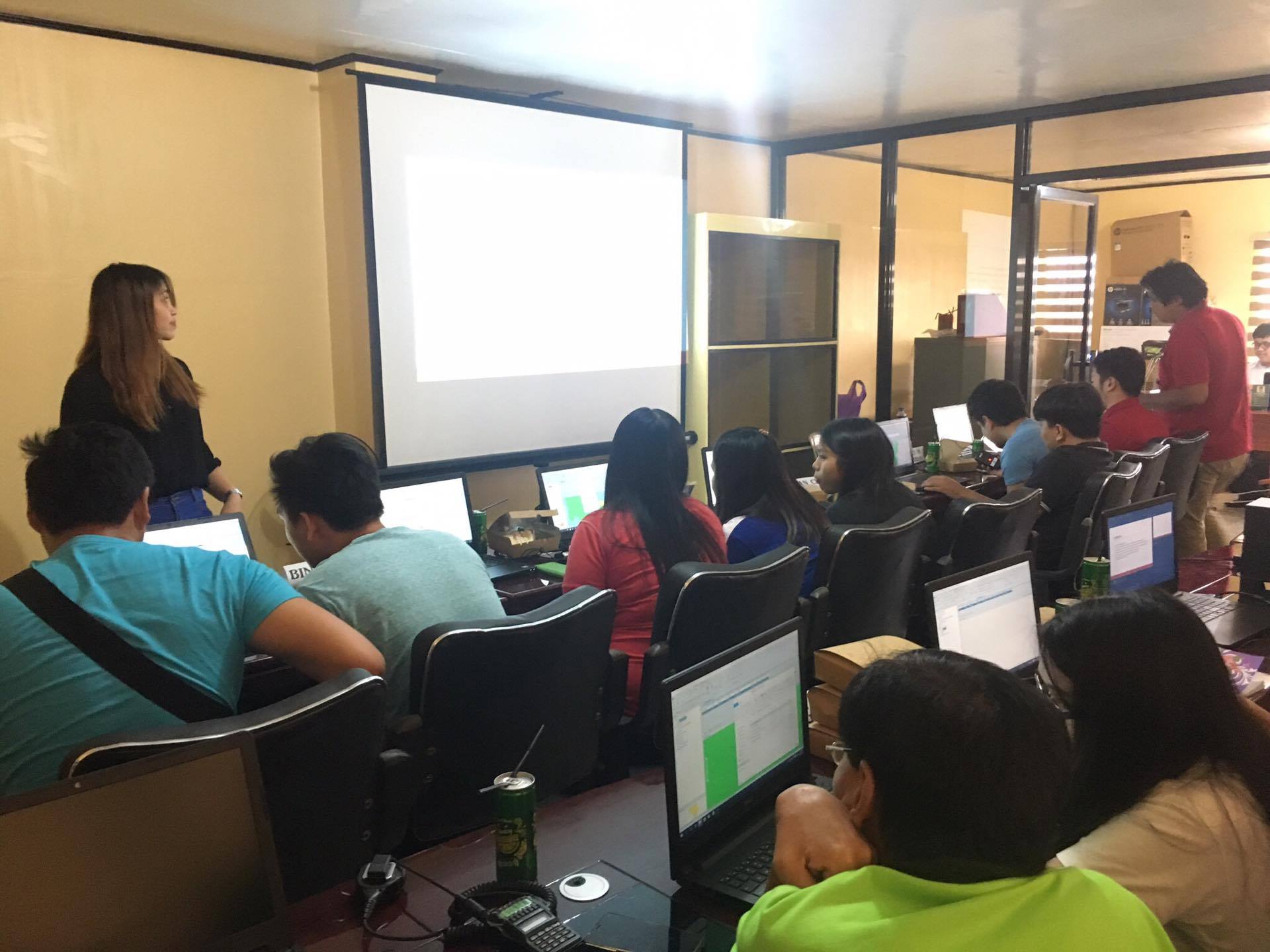
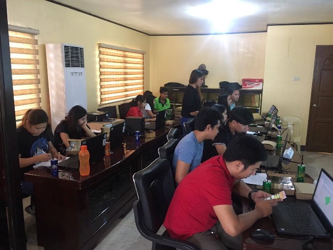
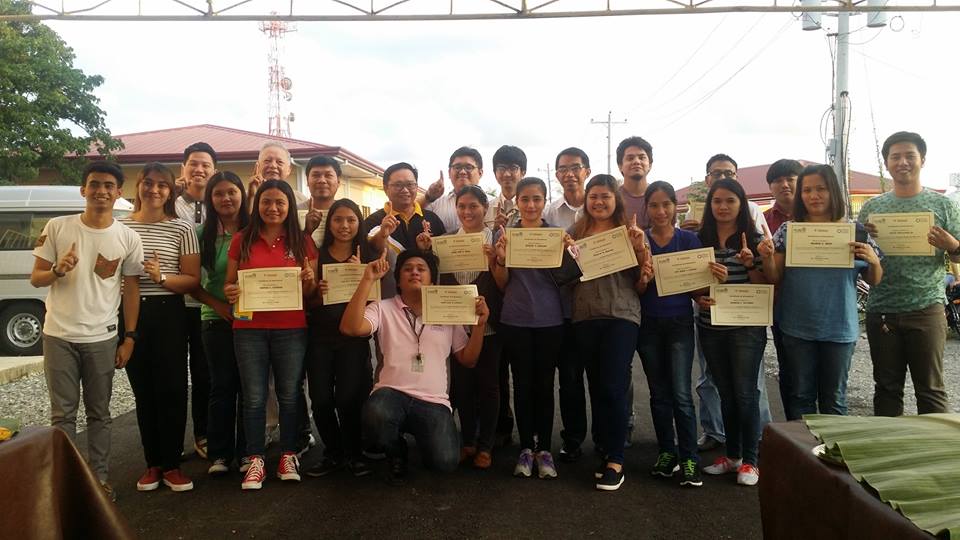
Project was sponsored by the Japan External Trade Organization (JETRO)
The project's objective was to design and implement a successful Geographic Information System (GIS) in the Cloud as a service. In this project we tested the GeoCloud Service in three (3) pilot areas:
The Department of Agriculture in their Farmers and Fisherfolk Database, Angeles City in their different LGU activities and in UP-Los Baños and uploading the output of their IOT devices in the Cloud for data-sharing.
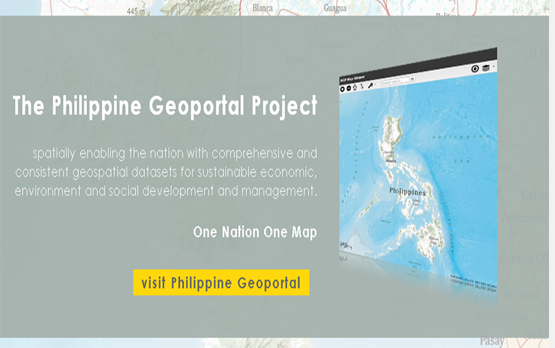
NAMRIA (National Mapping and Resource Information Authority) was asked to evaluate the performance of the GeoCloud Software in its geoportal.
Amazon Web Service (AWS) in Tokyo and Vodien in Singapore were used. The Project started on October 2017 and was scheduled to end on January 30, 2019 but the Project was extended to March 15, 2020 due to the Pandemic lockdown imposed by both Philippine and Japanese Governments, a subsequent additional project to cover Private Enterprises was cancelled.
* Inform and advise Farmers on crops
* Optimum use of intervention/s to maximize impact to farmers
* Minimize impact of negative natural events
* Accurately calculate risk for Insurance Premiums
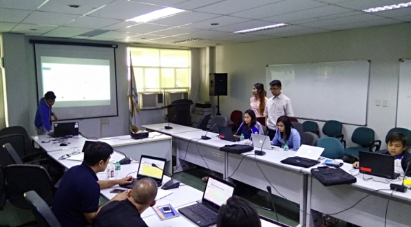
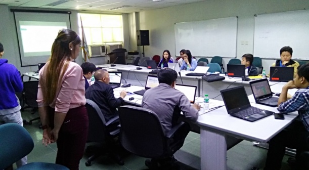
•ICT Division (ICTD) –main repository of all data/information
•Strategic Management Division (SMTD) handles the ff : Peace and Order, Health Services, Education and etc
•Disaster Risk reduction Division (DRRD)handles the DRRM operations
•Planning Division (PD) handles the Building and Business Permits,
•Engineering Dept. (ED) handles the Services of the Utility Companies : Electric companies, Water & Sewage Contractors/Suppliers
•Assessor’s Office - handles Tax Assessment of Real Property.

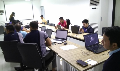
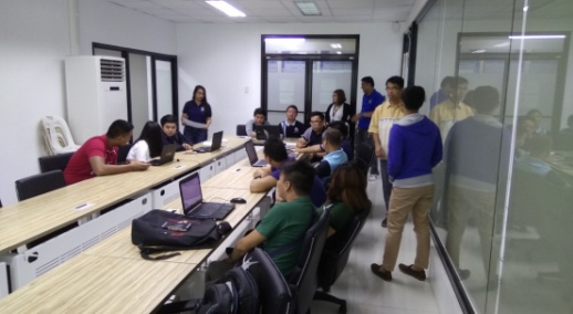
Our Pilot Project in the University of the Philippines – Los Baños (UPLB) is tied to the SARAI 2 Project . SARAI stands for Smarter Approaches to Reinvigorate Agriculture as an Industry. Project SARAI 2 is a research program funded by the Dept. of Science & Technology (DOST) which aims to develop a crop forecasting and crop monitoring system for eight priority crops – rice, corn, coconut, banana, coffee , cacao , soybean, and tomato.
The JETRO Project we are implementing is a Cloud-based GIS Platform for presenting the Crop Advisory to Farmers. It consolidates information about weather, rain, drought, soil profile, pests , disease, automatic weather stations (IOT), crop monitoring via satellite and drones. It uses AI (Predictive Analytics) to formulate Crop Advisory.

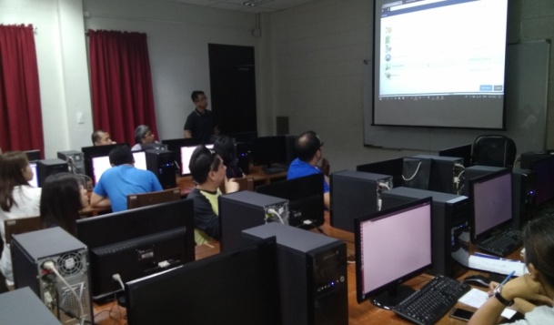
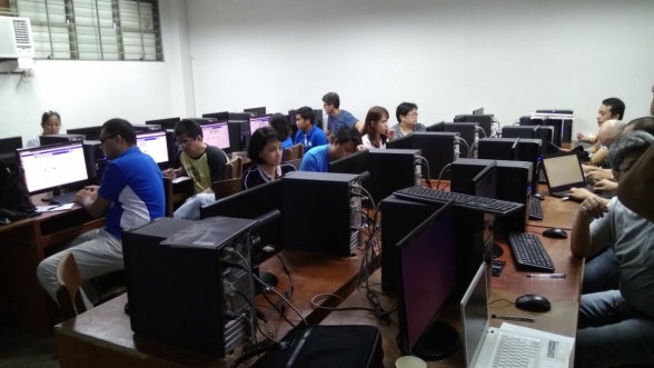
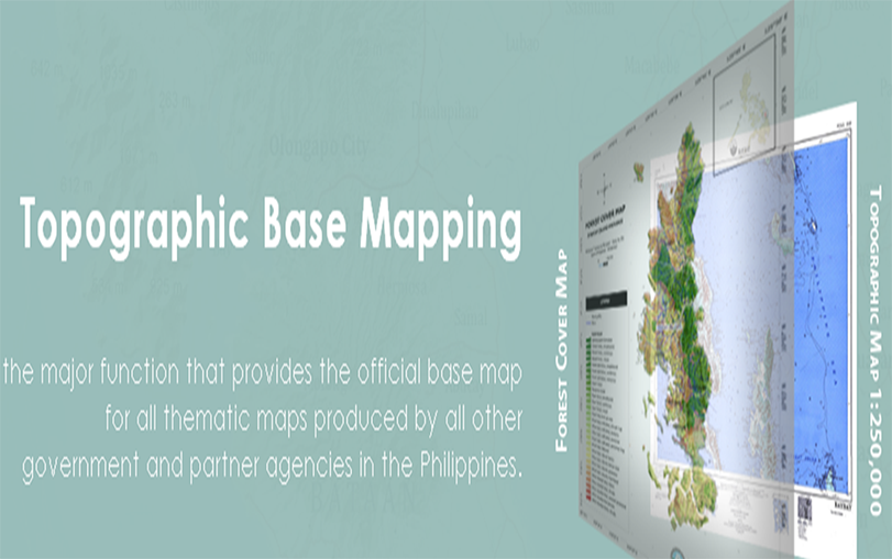
NAMRIA is mandated to provide the public with mapmaking services and to act as the central mapping agency, depository, and distribution facility for natural resources data in the form of maps, charts, texts, and statistics.
Our JETRO Project has involved NAMRIA to help us evaluate the performance of our GeoCloud System in the Cloud (IGO)as a Service and for them to provide recommendations to improve the Service.
